Mont-Blanc Route

This is one of most famous route crossing three countries (Italy, France and Switzerland) and 7 different valleys. The route is not very difficult and mountaineering equipment is not required, but it is desirable to have at least basic experience of mountain hiking, as on any other multiple-day trek. It is essential to be in good physical shape and, accordingly, to prepare for the hike physically, as well as having suitable clothing and gear for this route. Tour du Mont Blanc is a circular route. You can begin the hike from Courmayeur, on the Italian side, or from Chamonix, on the French side. Your choice of start point does not affect the profile of the route.
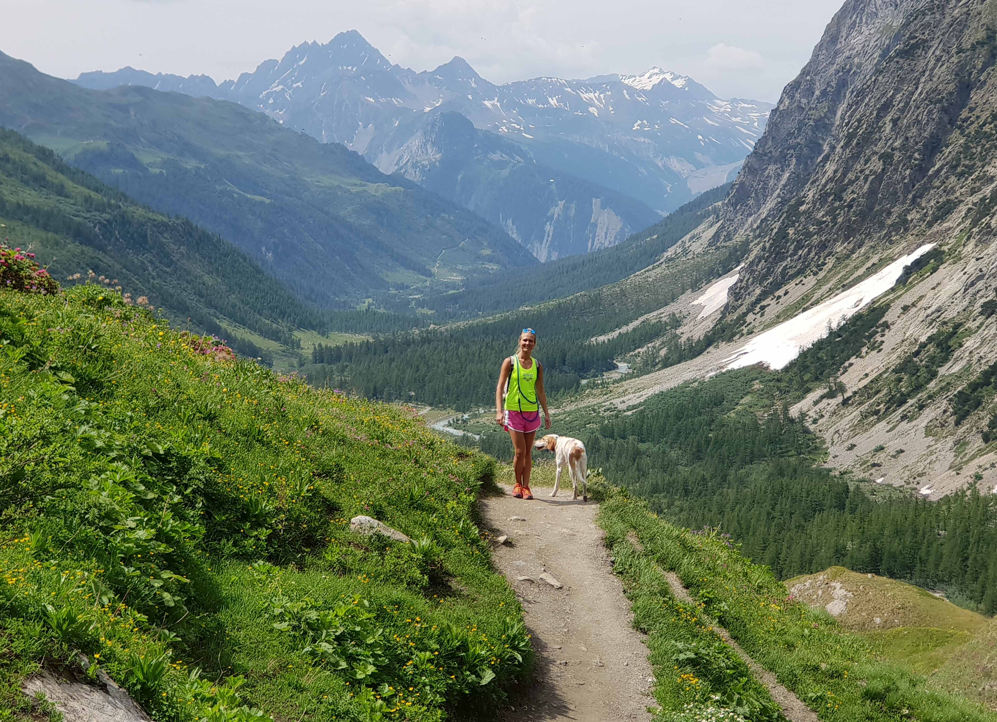
This is a classic trekking route around Mont Blanc with an itinerary that consists of 11 days of walking (5 - 7 hours per day). With such a schedule, most hikers can complete the full Tour du Mont Blanc at their own pace, taking the shortest route or taking a bus shuttle. The altitude is 1200 – 3000 m. The routes pass through forests, alpine meadows, through the highlands to a lesser extent and amazing valleys. There are beautiful lakes along the route like the Lac de Champex, where you will stay overnight. In the highlands of the Aiguilles Rouges massif you will pass Lac Blanc, a place famous for its spectacular views of Mont Blanc from Italian side.
Itinerary:

1 day: Arrival in Courmayeur (Italy) 2 day: Val Ferret (Italy). Ascent 960 m. Descent 530 m. Distance 13 km. Walking time 5 hours. 3 day: Grand Ferret Pass (Switzerland). Ascent 890 m. Descent 930 m. Distance 17 km. Walking time 6 hours. 4 day: Lake Champex (Switzerland). The landscapes around the lake are reminiscent of Canada’s Rockies, and so this area has acquired the name “Little Canada”. Ascent 480 m. Descent 610 m. Distance 15 km. Walking time 5 hours. 5 day: Northern Extremety of Mont Blanc (Switzerland). Ascent 760 m. Descent 960 m. Distance 16 km. Walking time 6 hours. 6 day: Chamonix Valley (France). Ascent 940 m. Descent 730 m. Distance 11 km. Walking time 5 hours. 7 day: Aiguilles Rouges Massif (France). Ascent 990 m. Descent 600 m. Distance 11 km. Walking time 5 hours. 8 day: Chamonix, TMB Panoramic Trail (France). Ascent 800 m. Descent 1670 m. Distance 16 km. Walking time 7 hours. 9 day: Glaciers of Mont Blanc (France). Ascent 760 m. Descent 1440 m. Distance 14 km. Walking time 6 hours. 10 day: Southern Extremety of Mont Blanc (France). Ascent 1330 m. Descent 930 m. Distance 18 km. Walking time 8 hours 11 day: Pyramides Calcaires (Italy). Ascent 970 m. Descent 540 m. Distance 17 km. Walking time 6 hours. 12 day: Courmayeur, Grandes Jorasses and Giant’s Tooth. Ascent 490 m. Descent 1250 m. Distance 13 km. Walking time 6 hours. 13 day: Departure from Courmayeur The hike is organized on an individual basis, either self-guided or with a local English-speaking mountain guide. Raccommended period: July and August Tour Duration: 13 days / 12 nights
Self Guided Hiking
Self Guided Hut Based € 1290 (Jun 12 - Sep 21) Self Guided Hotel Based € 1770 (Jun 12 - Sep 21)Guided Hiking
Guided Hut Based € 2610 (Jun 12 - Sep 21) Guided Hotel Based € 3240 (Jun 12 - Sep 21) Self-guided tour: supplement € 170 - € 480 applies to one-person bookings. The mountain huts, guest houses and hotels on the TMB route become fully booked even before the start of summer, and so we recommend booking your hike in advance, preferably before the end of April.

