Val Ferret (1695m) - Bonatti refuge (2025m) - Malatra Pass (2925m)

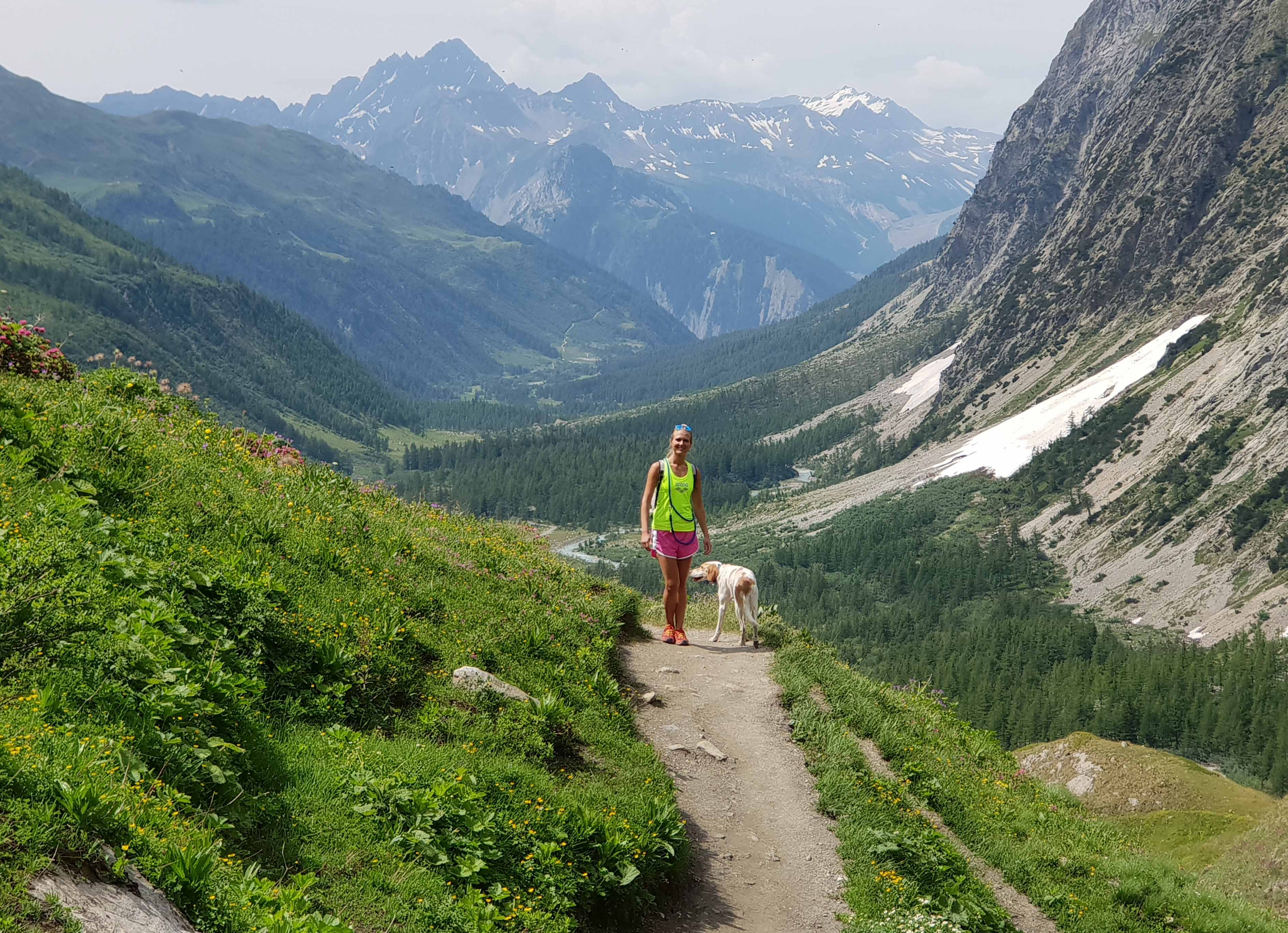
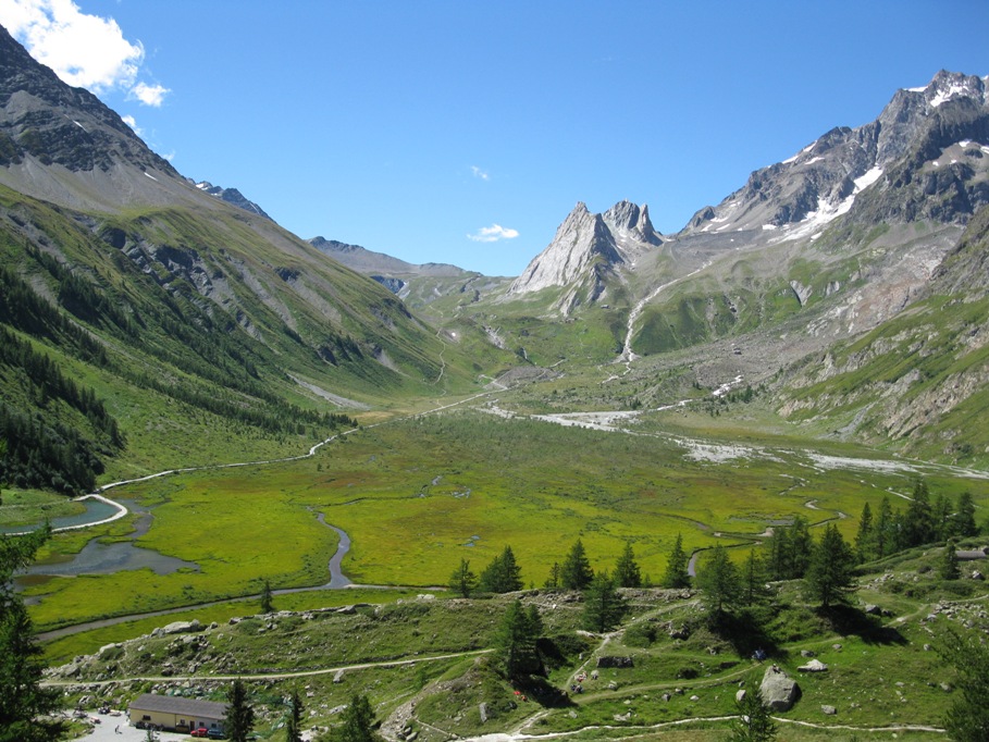
Panoramic route at the foot of Mont Blanc is good for children and adults. The route starts at Val Ferret at an altitude of 1695m and passes through the forest. After 50-60 minutes we reach the Bonatti refuge (2025m), was named after the world famous alpinist and explorer Walter Bonatti. Here the forest ends and open amazing views over the Gran Joras and Mont Blanc.
Then we pass through alpine meadows, pastures, streams and reach the fork in 30 minutes, where you can choose an easier route and in 1 hour to arrive to the Pas entre-deux-Sauts (2520m) with a stunning view of Mont Blanc. We recommend this itinerary for beginners.
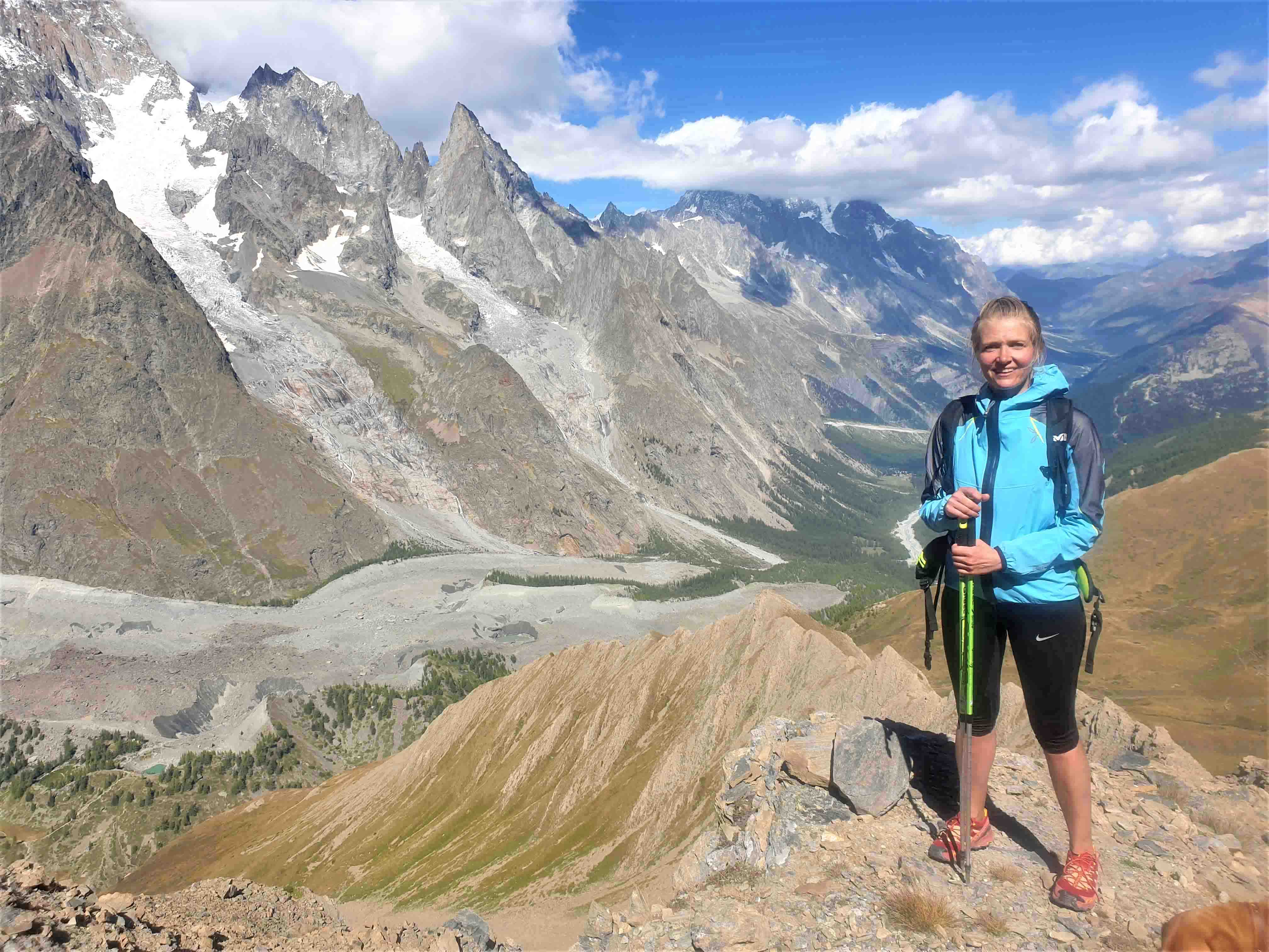
For those who feel confident with the mountains, we suggest choosing a longer route and to go to the Col de Malatrà (2925m) which you reach in about 2 hours.
Altitude to Pas entre-deux-Sauts: + 825m
Time: 2.5 hours
Altitude to Col de Malatrà: + 1230m
Time: 3.2 hours
Val Ferret (1695m) - Bonatti refuge (2025m)

Pleasant easy route for beginners in Val Ferret, in 1:30-1:45 h we'll reach the mountain hut of Bonatti where is possible to have a pic-nic, to take amazing photos with glacier views.
Elevation: +400м
Time: 1,5h
From the hut is possible:
1. To walk till the mountain meadows (20 min) 2. To go to Bonatti hut (2,5 h) 3. To back to the Val Ferret (40 min)
Val Ferret (1695m) - Bertone refuge (2000m)

One of the most beautiful route at the foot of Mont Blanc. It starts near Courmayeur, in the place called Planpincieux. On the way to the refuge, we are constantly looking at Mont Blanc massif and glaciers, and on the way back we see the Grandes Jorasses mountain.
It's one of the best itinerary for beginners of any age.
For tourist with good preparation we propose a circle route, passing through Bonatti refuge.
Elevation to Bertone refuge: + 400m
Time: 1,5 hours
Elevation Planpincieux - Bertone refuge - Bonatti refuge - Planpincieux: + 750m
Time for the whole route: 4-5 hours
Refuge Elena 2061m and Col Grand Ferret 2537m

Not difficult route in Val Ferret, it's situable for children and beginners. Val Ferret runs from the foot of Mont Blanc on towards Col Ferret, the pass that leads over into Switzerland.
After about 1:20 h walk you'll reach the Ref.Elena where you can have a pick-nick, lunch or just sunbath. From the refuge you'll admire the breathtaking view on the glacier of Prè de Bar, which is an unforgettable sight!
If you are not tired you can continue to the Col Grand Ferret - border with Switzerland. This is a difficult part of the route, suitable for experienced walkers and trekkers.
The altitude +300 m. to the refuge and + 476m to the pick.
Total 776m
Duration: 1:20 h to the refuge and 1:30 h to the pick.
Rifugio Elisabetta and Col de La Seigne 2.197 / 2.514 m

Route in Val Veny to Elisabetta mountain hut suitable for family walks and for less experienced hikers.
If you want to extend the hike it is possible to extend it till the Col de la Seigne. After 50-60 min of walking we'll see the small museum “Casermetta”, which is dedicated to the history of Mont Blanc.
After 35 min we'll arrive to the col de la Seigne - border with France. You have a stunning scenery of the Val Veni with the Pyramides Calcaires and the Mont Blanc right in front of you.
The altitude +527 m. to the refuge Elisabetta and + 317m to the Col de La Seigne.
Total 844 m
Duration: 1:30 h to the refuge and 1:30 h to the Col de la Seigne.
Courmayeur 1208 m - Lago Chécrouit 2160 m

Easy panoramic route at the foot of Mont Blanc to Lake Checrouit - one of the most beautiful lakes in the region.
The route begins in the village of Dolonne and we go up to Plan Chécrouit (1702 m) after 50-60 min. This is a center of the Courmayeur ski resort, in summer it turns into a real spa complex with a swimming pool and a lot of restaurants and bars. It offers breathtaking view of Courmayeur.
From here, we will follow the narrow path and after about 60 minutes we will reach the Lake Chécrouit, in which like in the mirror reflects Mont Blanc and glaciers.
Altitude + 952 mt.
Duration 2:20 h.
Courmayeur - La Thuile

It starts in Courmayeur (1216m), climbing steeply into the mountains to Rifugio Vieille (1956m) where is possible to stop for a break and coffe. Then for 1 hour will ve very plasent and panoramic walk up along the dirt road admiring the view of Mont Blanc and the glaciers.
Then 40 min of steep ascent to Mont Fortin (2.758m). Following the ridge the path goes slightly down to the mountain pastures (2.421m) and from here a long descent takes you into La Thuile (1450m) via vallone di Chavannes.
Altitude + 1550 m.
Total duration 7,5 h.
Lake Arpy (Lago d'Arpy)

Easy and without any difficulty, the hike will undoubtedly intoxicate the hiker through the scene on the Mont Blanc.
It starts on the San Carlo Pass, not far from La Tuile. The route is straight and large and after 60 minutes you reach the Arpy Lake, from where you can enjoy a breathtaking view on Mont Blanc.
You can have a picnic at the lake or if you have a strength, you can walk for 1.5 hours to the pass.
The altitude +60 m.
Duration: 50-60 min
There are many hiking trails around Courmayeur, and you will surely find the perfect one for you as there are options for all levels.


