Треккинг в Пиле (Аоста)
Pila (1800m) - Chamolé lake (2325m)
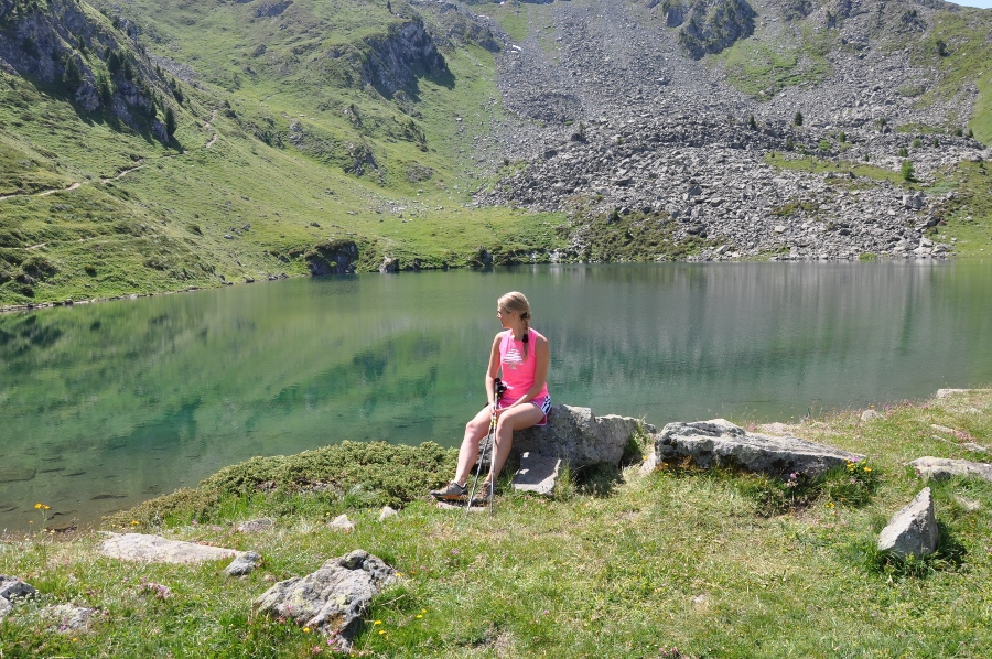 Excellent hiking route for beginners and well prepared trekkers who want to do an acclimatization before more serious climbing.
Starting in Pila at an altitude of 1800 m. (it is possible to get from Aosta to Pila by car or on a cable car for 6 euros go/back), we trek up for about 1.40 hours through alpine meadows covered by flowers, rivers, small forest til we get to the Chamolé lake (2325m), where you can stop for a rest.
Elevation: + 525m (Pila - Chamolé lake)
Time going up: 1.40 hours (Pila - Chamolé lake)
Chamolé lake (2325m) - Col Replan (2373m)
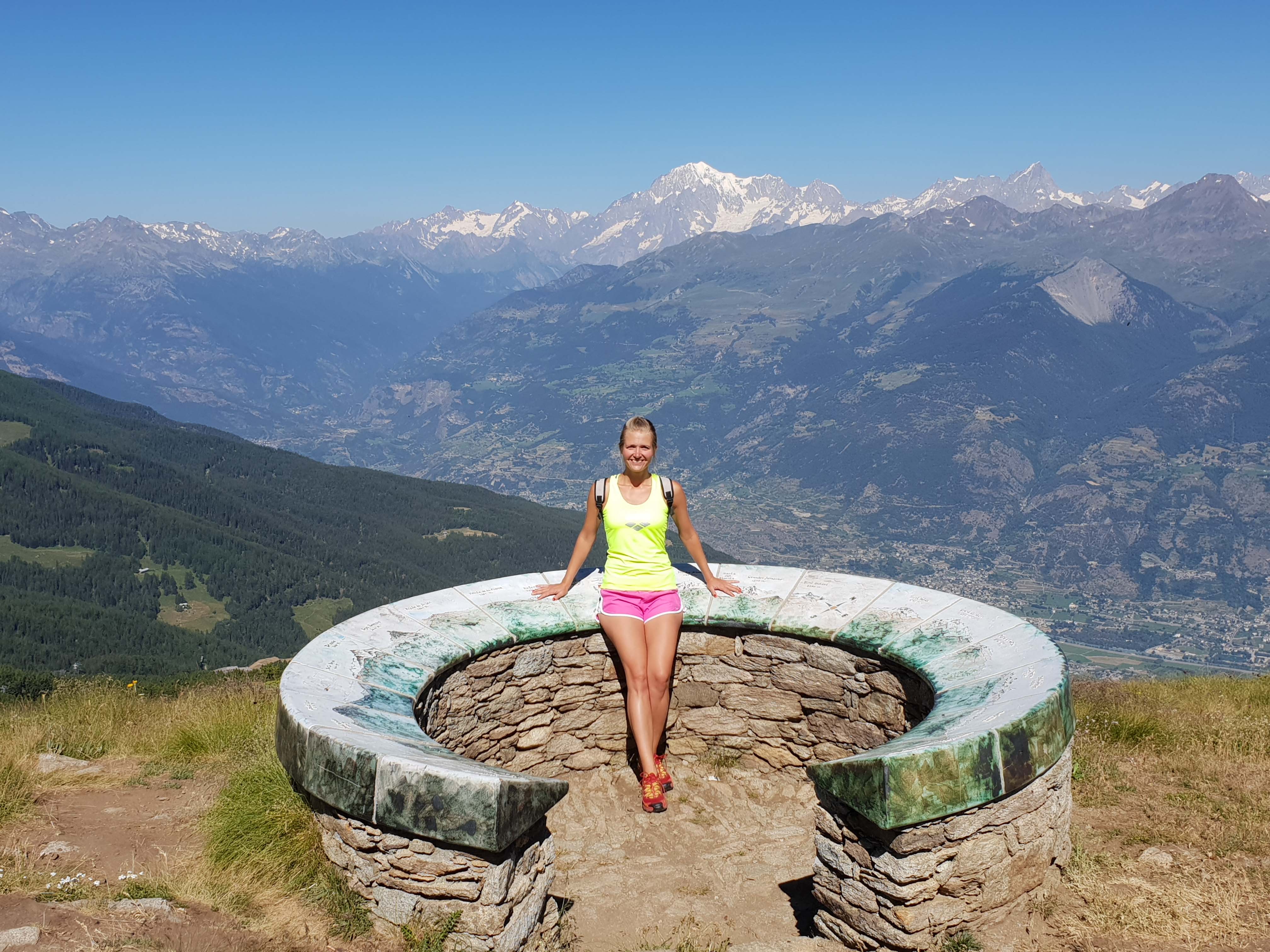 If you feel tired, you can end the route at the lake, but we would suggest to climb up to Col Replan (2373m), where you can admire the stunning views of the main peaks of the region (4810m Mont Blanc, Cervino / Matterhorn 4478m, Grand Combin 4314).
The ascent will take about 30 minutes.
Elevation: + 48m (Chamolé lake - Col Replan)
Time going up: 30 min (Chamolé lake - Col Replan)
Chamolé lake (2325m) - Rifugio Arbolle (2511m)
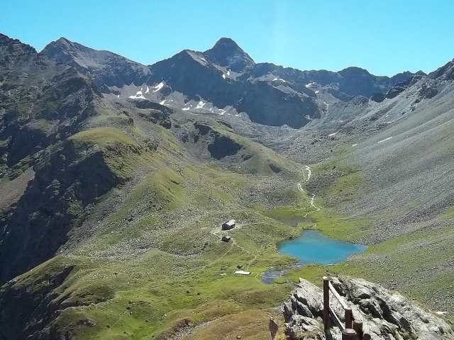 After having rest on a Chamolé lake (2325m) the journey is continues until the Arbolle refuge (2511m).
The section till colle di Chamolé (2641m) is quite steep and it takes about 45 min. From the hill it takes about 20 minutes to get to refuge.
Elevation: +316m - 130m
Time to going up: 1,10 h.
Перевал Большой Сен Бернар
Италия + Швейцария - 4 перевала и 8 озер
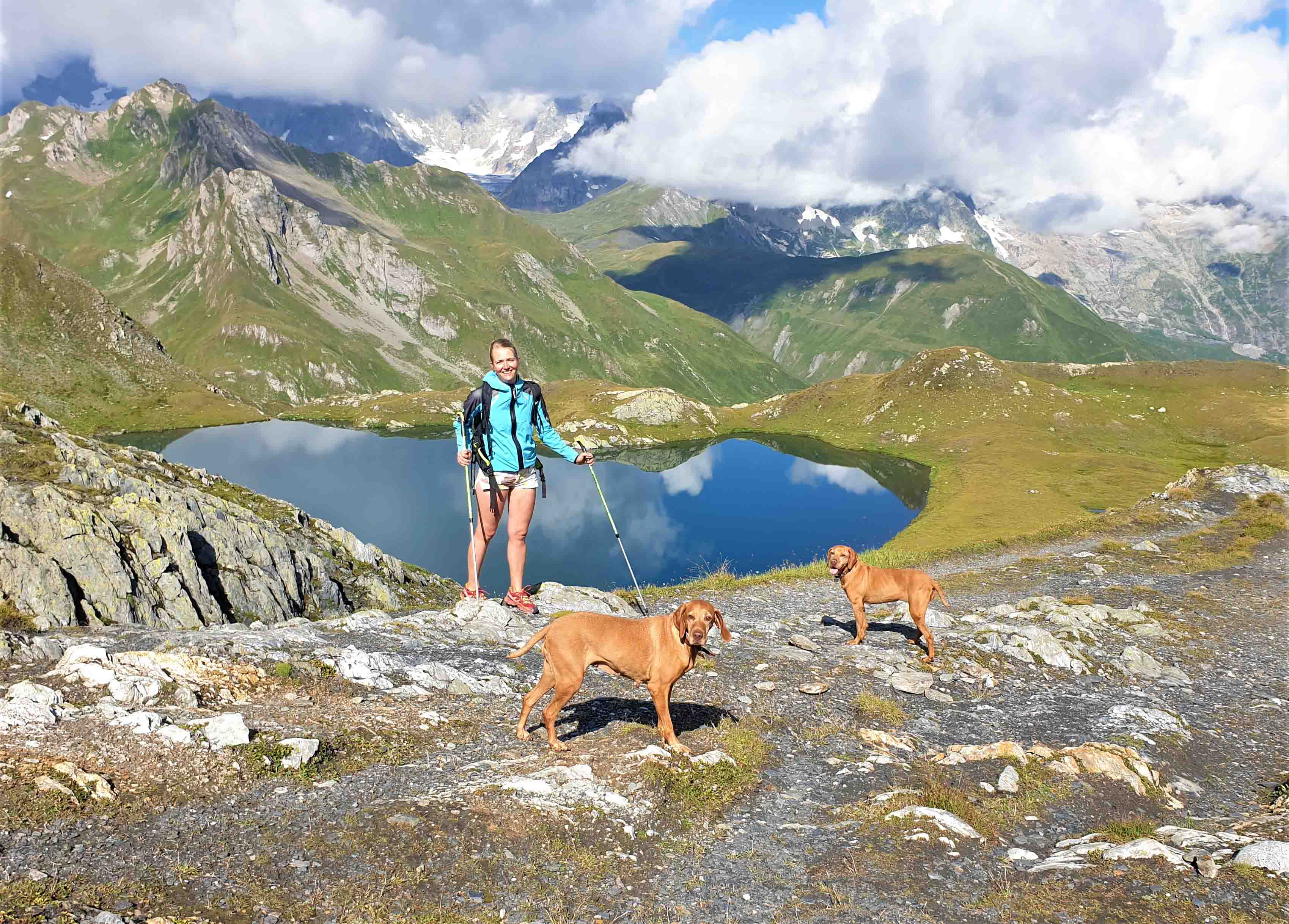
4 passes and 8 lakes

Захватывающий альпийский поход вдоль границы между Швейцарией и Италией с потрясающими видами на массив Монблан и соседние ледники. Поход начинается у перевала Сен-Бернар, на границе Швейцарии и Италии. 1. Первый перевал - Fenêtre de Ferret. С вершины уже можно увидеть горные озера, но особенно захватывает вид на горный массив Монблан! Почти сразу видны два из трех озер Lacs de Fenêtre, сверкающие зеленовато-синим цветом на фоне Мон-Телье и Коль-де-л’Арпаль. 2. Скалистый гребень справа сначала кажется непроходимым, и сначала трудно увидеть, где именно Col des Bastillon. Спуск с перевала к озерам Ле более пологий, а каменистая тропа плавно вьется к озерам. Впереди 3 озера Ле, они менее известны, чем lacs de fenêtre, но тоже очень красивые. 3. Затем мы поднимаемся по каменистой тропе к перевалу Col des Chevaux. оборачиваясь время от времени назад мы увидим масив Мон-Доль, который появится за перевалом Col des Bastillon. 4. Последний этап - не крутая тропа, ведущая к дороге на перевал Grand St Bernard Pass, на котором расположился горный приют-отель для пилигримов, и место, где занимаются разведением собак породы Сенбернар. Перепад высоты: +1050m - 1050m Общее время: 6 ч.
Пик Зербион (2772м)
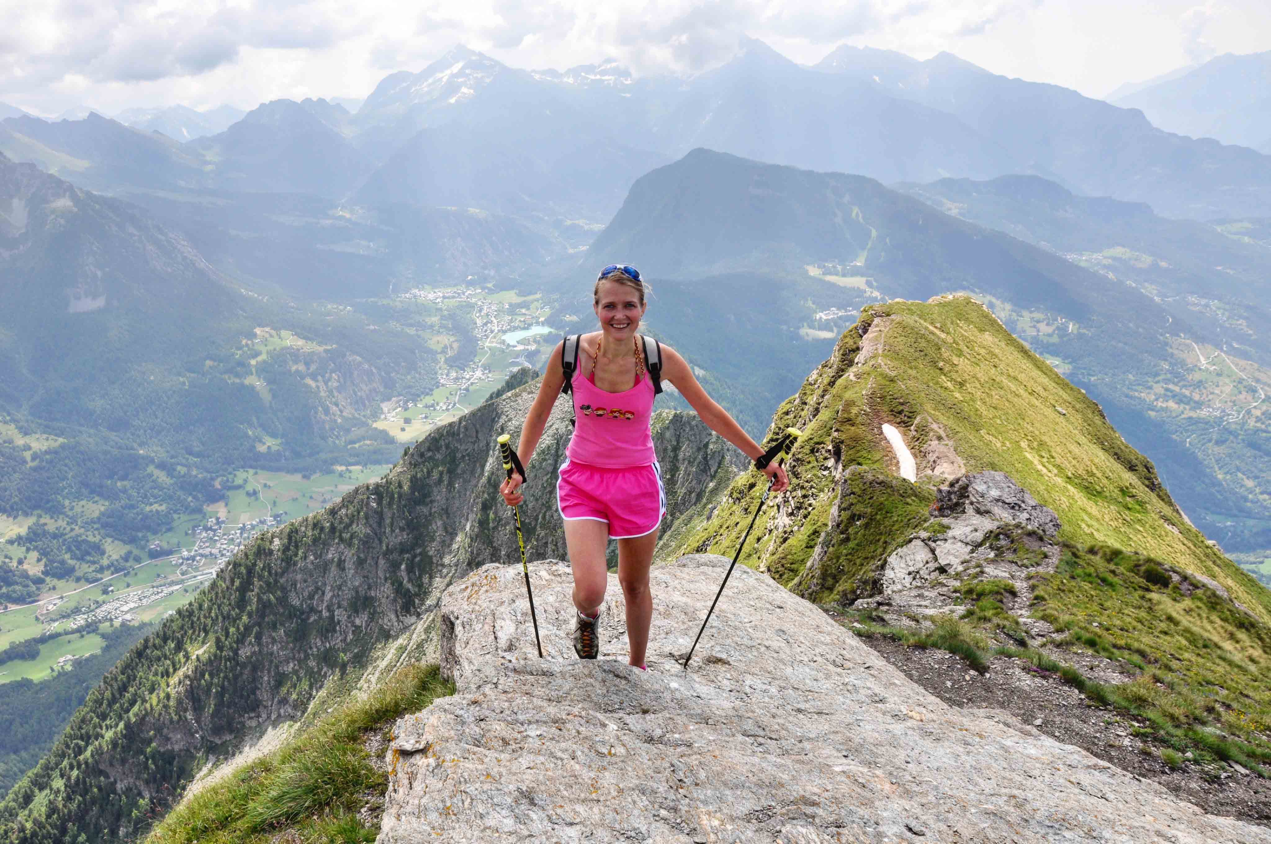 From the top Zerbion peak, due is central position, there is a very wide view on all the most important summits of the Aosta Valley, Gran Paradiso Group, Monte Bianco Group, Cervino, Monte Rosa Group
We start from Barmasc village, (1.828m). The path is very nice, sometime steep, and crosses, after a wile, a quite wide channel named Ru Cortod;
After the small bridge, the path is in a bush of pick pines; the last part of the path, that you simply hike, brings to the Portola Pass, (2.415m). Despite the 600m of level from the beginning, usually you reach the pass in a quite short time, the path from a certain point is very steep. The view on the Ayas valley is magnificent; from the pass you see also the other face of the mountain.
Hiking, the view enlarges: you have in front the summits of the central Aosta Valley, and as soon as you arrive on the wide ridge, on your left and behind you, appear the whole Monte Rosa Group and the Cervino; when you arrive to the top, it seems that you can touch these mountains with your hands.
Elevation: +1000m - 1000m
Time to going up: 3 h.
Долина Аосты
Ветан (1795м) - Приют М.Фалер (2385м) - Перевал Фенетр (2729м)
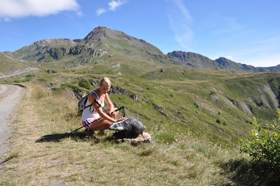 Маршрут идеально подходит для взрослых и детей. Старт в пос.Ветан, что примерно в 30 мин от Аосты, на протяжении всего маршрута открываются потрясающий виды на горные вершины. Так же, на протяжении всего пути, вам будут встречаться деревянные скульптуры разных размеров, что послужит отличной мотивацией для детей (деревянные птицы на деревьях, грибы, ежики, лисы, скульптуры людей). До горного приюта идти примерно 1,45 ч - 2 ч.
В приюте Мон Фалер номера как в отеле 3* и там можно остановиться на ночлег, а на следующий день подняться на одну из вершин.
 Для тех, у кого остались силы после подъема до приюта, можно подняться до горного озера (50 мин) или дойти до перевала Фенетр, откуда открываются восхитительные виды на противположную часть долины.
Перепад высоты: +590м (от Ветан до приюта М.Фалер) +344м (от приюта М.Фалер до перевала Фенетр)
Время при подъеме: 2 ч (от Ветан до приюта М.Фалер) 1 ч (от приюта М.Фалер до перевала Фенетр)


